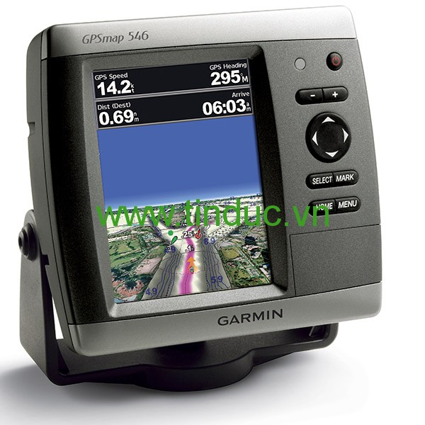
The GPSMAP 536 is a compact chartplotter that features a high-resolution, super-bright 5" (12.7 cm) VGA color display along with an improved high-speed digital design for increased map drawing and panning speeds. It’s ready to go with a built-in, satellite-enhanced basemap preloaded with U.S. Garmin Lakes and an easy-to-use interface designed to help you navigate the open waters with ease. The GPSMAP 536 also accepts BlueChart® g2 Vision® cards (sold separately) for added features and functionality such as high-resolution satellite imagery, 3-D views and Auto Guidance technology.
Navigate the Lake
The GPSMAP 536 comes ready to go with preloaded U.S. Garmin Lake map data. For areas outside the U.S., the GPSMAP 536 has a worldwide basemap with satellite images in place of more traditional maps. The GPSMAP 536 also comes standard with a high-sensitivity GPS receiver for superior satellite tracking and quicker acquisition times. In addition, the GPSMAP 536 can receive U.S. graphical weather data via optional GXM™ 51 satellite receiver/antenna (sold separately). And with an SD™ card slot, it’s easy to add additional maps without connecting to a computer.
Add Extras with Garmin Lakes Vision
With the optional Garmin Lakes Vision SD card, you can add a whole new dimension of exceptional features to your chartplotter.
- MarinerEye view and FishEye view provide you a 3-D perspective of map information, both above and below the waterline.
- High-resolution satellite images to help you orient yourself in unfamiliar areas.
- Auto Guidance technology searches through all relevant charts to create a route you can actually follow — one that avoids obstacles, shallow water, buoys and other obstructions.
Physical & Performance
|
|
Unit dimensions, WxHxD
|
5.9" x 6.4" x 2.9" (15.0 x 16.3 x 7.4 cm)
|
|
Display size, WxH
|
3.0" x 4.0"; 5.0" diagonal
(7.6 x 10.2 cm; 12.7 cm diagonal)
|
|
Display resolution, WxH
|
480 x 640 pixels
|
|
Display type
|
VGA display
|
|
Weight
|
1.75 lbs (0.8 kg)
|
|
Water rating
|
IPX7
|
|
Receiver
|
High sensitivity
|
|
Antenna
|
Internal with external connection
|
|
Mounting options
|
Bail with swivel or flush
|
|
Power consumption
|
Max power usage at 13.8 Vdc: 15 W
Typical current draw at 12 Vdc: 0.6 A
|
Maps & Memory
|
|
Preloaded maps
|
Inland Lakes (inland maps)
|
|
Accepts data cards
|
1 SD™ card
|
|
Waypoints
|
3,000
|
|
Routes
|
100
|
|
Track log
|
20,000 points; 50 saved tracks
|
Features & Benefits
|
|
Garmin Radar compatible
|
No
|
|
Garmin Sonar compatible
|
No
|
|
NMEA 2000® compatible
|
Yes
|
|
NMEA 0183 compatible
|
Yes
|
|
Garmin Marine Network™ compatible
|
No
|
|
Garmin SmartMode compatible (customizable monitor presets)
|
No
|
|
Supports AIS (tracks target ships position)
|
Yes
|
|
Supports DSC (displays position data from DSC-capable VHF radio)
|
Yes
|
|
Tide tables
|
Yes
|
|
Garmin Meteor Audio System compatible
|
No
|
|
Supports Fusion Lync compatible marine radios
|
No
|
|
GSD™ Black Box sonar support
|
No
|
|
GCV™ Black Box sonar support
|
No
|
|
SiriusXM™ Weather & Radio compatible
|
Yes
|
|
Garmin Helm compatible
|
No
|
|
GRID™ (Garmin Remote Input Device) compatible
|
No
|
|
Wireless remote compatible
|
No
|
|
Wireless mouse compatible
|
No
|
Sonar Features & Specifications
|
|
Dual-frequency (50/200 kHz) sonar capable
|
No
|
|
Dual-beam (77/200 kHz) sonar capable
|
No
|
|
CHIRP sonar technology
|
No
|
|
DownVü™
|
No
|
|
SideVü™
|
No
|
|
Voltage range
|
10-32 Vdc input
|
Connections
|
|
NMEA 0183 input ports
|
2
|
|
NMEA 0183 output ports
|
2
|
|
Video input ports
|
None
|
|
Video output ports
|
None
|
|
Wireless connectivity
|
No
|
|
Garmin Marine Network™ ports
|
None
|
- GPSMAP 536
- Tilt/swivel mount
- Protective front cover
- Power/data cable
- Documentation


Hiện tại chưa có ý kiến đánh giá nào về bài viết này. Hãy là người đầu tiên chia sẻ cảm nhận của bạn.